River and path in Woodstock Watermeadows
Introduction
The photograph on this page of River and path in Woodstock Watermeadows by Jaggery as part of the Geograph project.
The Geograph project started in 2005 with the aim of publishing, organising and preserving representative images for every square kilometre of Great Britain, Ireland and the Isle of Man.

There are currently over 7.5m images from over 14,400 individuals and you can help contribute to the project by visiting https://www.geograph.org.uk
River and path in Woodstock Watermeadows
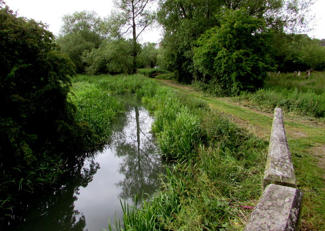
Image: © Jaggery Taken: 20 Jun 2015
The river is the Glyme, here streamlike, though nearby notices warn that the meadows are prone to flooding.
Images are licensed for reuse under creativecommons.org/licenses/by-sa/2.0
Image Location


Leaflet Map data © OpenStreetMap
Latitude
51.85081
Longitude
-1.353904