Stagenhoe Park at St Paul's Walden
Introduction
The photograph on this page of Stagenhoe Park at St Paul's Walden by Jack Hill as part of the Geograph project.
The Geograph project started in 2005 with the aim of publishing, organising and preserving representative images for every square kilometre of Great Britain, Ireland and the Isle of Man.

There are currently over 7.5m images from over 14,400 individuals and you can help contribute to the project by visiting https://www.geograph.org.uk
Stagenhoe Park at St Paul's Walden
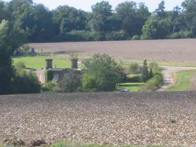
Image: © Jack Hill Taken: 28 Aug 2005
The house is approached by a private road. I believe it was once a nursing home but there are no signs to this effect. Update 2022: This view is actually of the Dower House Image
Images are licensed for reuse under creativecommons.org/licenses/by-sa/2.0
Image Location


Leaflet Map data © OpenStreetMap
Latitude
51.889778
Longitude
-0.276727