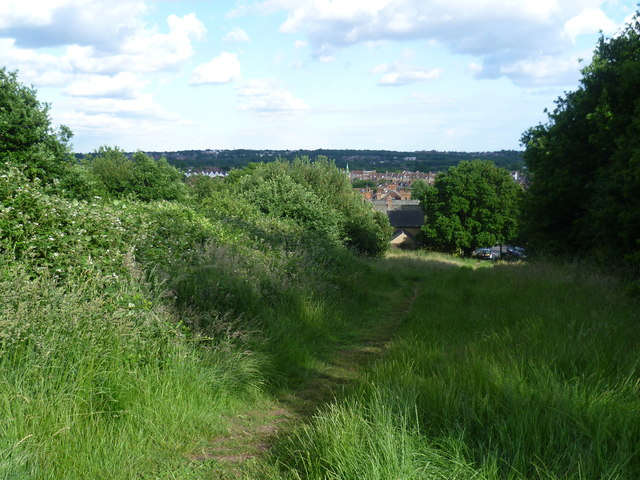
View on the way up to Pole Hill
Introduction
The photograph on this page of View on the way up to Pole Hill by Marathon as part of the Geograph project.
The Geograph project started in 2005 with the aim of publishing, organising and preserving representative images for every square kilometre of Great Britain, Ireland and the Isle of Man.
There are currently over 7.5m images from over 14,400 individuals and you can help contribute to the project by visiting https://www.geograph.org.uk

Image: © Marathon Taken: 22 Jun 2015
Pole Hill stands at 0 degrees longitude, and 51 degrees 38 minutes north latitude. Its main claim to fame is the fact that it lies directly on the Greenwich meridian. On top of the hill there are two obelisks. One is an Ordnance Survey trig point. The other one and much larger is made of granite and bears the following inscription: "This pillar was erected in 1824 under the direction of the Reverend John Pond, MA, Astronomer Royal. It was placed on the Greenwich Meridian and its purpose was to indicate the direction of true north from the transit telescope of the Royal Observatory. The Greenwich Meridian as changed in 1850 and adopted by international agreement in 1884 as the line of zero longitude passes 19 feet to the east of this pillar." Over recent years the trees on the surrounding slopes have been allowed to grow up which has obscured the previously fine views. Now the only view from the actual summit is a narrow one due south towards the BT Tower as seen at http://www.geograph.org.uk/photo/4536676 This view is from the slope on the way to the summit from Mornington Road and looks over Chingford. See https://en.wikipedia.org/wiki/Pole_Hill for more about Pole Hill.

