Northern end of Union Street, Woodstock
Introduction
The photograph on this page of Northern end of Union Street, Woodstock by Jaggery as part of the Geograph project.
The Geograph project started in 2005 with the aim of publishing, organising and preserving representative images for every square kilometre of Great Britain, Ireland and the Isle of Man.

There are currently over 7.5m images from over 14,400 individuals and you can help contribute to the project by visiting https://www.geograph.org.uk
Northern end of Union Street, Woodstock
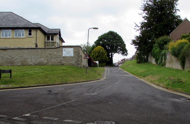
Image: © Jaggery Taken: 20 Jun 2015
Viewed across Brook Hill. Spencer Court care home http://www.geograph.org.uk/photo/4536319 is on the left.
Images are licensed for reuse under creativecommons.org/licenses/by-sa/2.0
Image Location


Leaflet Map data © OpenStreetMap
Latitude
51.848559
Longitude
-1.353355