Hawkchurch
Introduction
The photograph on this page of Hawkchurch by Nigel Mykura as part of the Geograph project.
The Geograph project started in 2005 with the aim of publishing, organising and preserving representative images for every square kilometre of Great Britain, Ireland and the Isle of Man.

There are currently over 7.5m images from over 14,400 individuals and you can help contribute to the project by visiting https://www.geograph.org.uk
Hawkchurch
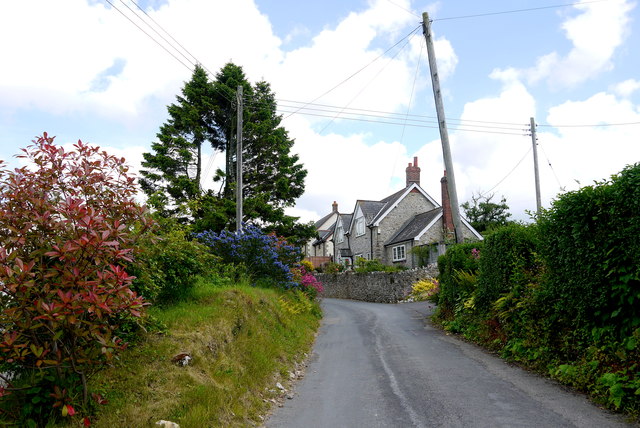
Image: © Nigel Mykura Taken: 15 Jun 2015
This colourful flowery roadside bank is the view east along Brimley Rd in the centre of the village just west of the green triangle with war memorial on Hawkchurch Rd.
Images are licensed for reuse under creativecommons.org/licenses/by-sa/2.0
Image Location
Latitude
50.800203
Longitude
-2.936917