Whitmore: top of track leading to cricket club
Introduction
The photograph on this page of Whitmore: top of track leading to cricket club by Jonathan Hutchins as part of the Geograph project.
The Geograph project started in 2005 with the aim of publishing, organising and preserving representative images for every square kilometre of Great Britain, Ireland and the Isle of Man.

There are currently over 7.5m images from over 14,400 individuals and you can help contribute to the project by visiting https://www.geograph.org.uk
Whitmore: top of track leading to cricket club
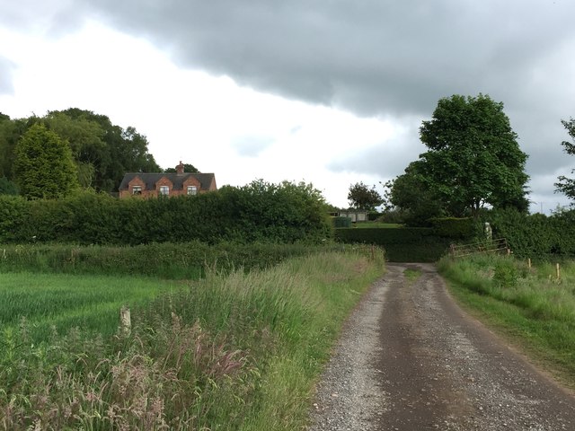
Image: © Jonathan Hutchins Taken: 20 Jun 2015
The big house in the background on Bent Lane is called 'Oaklands'.
Images are licensed for reuse under creativecommons.org/licenses/by-sa/2.0
Image Location


Leaflet Map data © OpenStreetMap
Latitude
52.963416
Longitude
-2.283721