Derelict site at 65, Folkestone Road
Introduction
The photograph on this page of Derelict site at 65, Folkestone Road by John Baker as part of the Geograph project.
The Geograph project started in 2005 with the aim of publishing, organising and preserving representative images for every square kilometre of Great Britain, Ireland and the Isle of Man.

There are currently over 7.5m images from over 14,400 individuals and you can help contribute to the project by visiting https://www.geograph.org.uk
Derelict site at 65, Folkestone Road
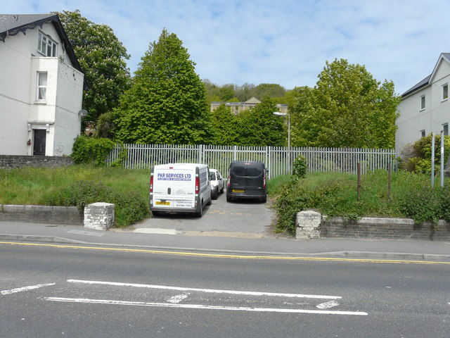
Image: © John Baker Taken: 22 May 2015
Planning permission has been granted by Dover District Council under application number DOV/15/00364 for an “outline application for the erection of 11 flats with under-croft parking (with all matters reserved)”. Although “no parking” had been painted on the entrance to the site, the drivers of the car and vans had ignored this instruction!
Images are licensed for reuse under creativecommons.org/licenses/by-sa/2.0
Image Location
Latitude
51.124597
Longitude
1.301641