Rivet benchmark, corner of Harding's Wood
Introduction
The photograph on this page of Rivet benchmark, corner of Harding's Wood by Karl and Ali as part of the Geograph project.
The Geograph project started in 2005 with the aim of publishing, organising and preserving representative images for every square kilometre of Great Britain, Ireland and the Isle of Man.

There are currently over 7.5m images from over 14,400 individuals and you can help contribute to the project by visiting https://www.geograph.org.uk
Rivet benchmark, corner of Harding's Wood
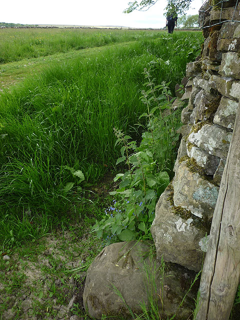
Image: © Karl and Ali Taken: 21 Jun 2015
On a boulder by the wall corner at an altitude of 257.687m asl.
Images are licensed for reuse under creativecommons.org/licenses/by-sa/2.0
Image Location
Latitude
54.520359
Longitude
-2.539122