Holditch Lane
Introduction
The photograph on this page of Holditch Lane by Nigel Mykura as part of the Geograph project.
The Geograph project started in 2005 with the aim of publishing, organising and preserving representative images for every square kilometre of Great Britain, Ireland and the Isle of Man.

There are currently over 7.5m images from over 14,400 individuals and you can help contribute to the project by visiting https://www.geograph.org.uk
Holditch Lane
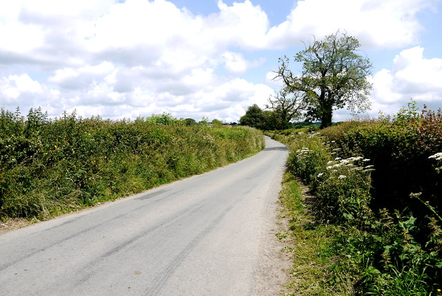
Image: © Nigel Mykura Taken: 15 Jun 2015
Holditch is a cluster of houses situated round the old Manor Farm. The lane runs to Holditch from Tytherleigh and then on to Broom on the River Axe
Images are licensed for reuse under creativecommons.org/licenses/by-sa/2.0
Image Location
Latitude
50.817185
Longitude
-2.949748