Polkanuggo Lane
Introduction
The photograph on this page of Polkanuggo Lane by Rude Health as part of the Geograph project.
The Geograph project started in 2005 with the aim of publishing, organising and preserving representative images for every square kilometre of Great Britain, Ireland and the Isle of Man.

There are currently over 7.5m images from over 14,400 individuals and you can help contribute to the project by visiting https://www.geograph.org.uk
Polkanuggo Lane
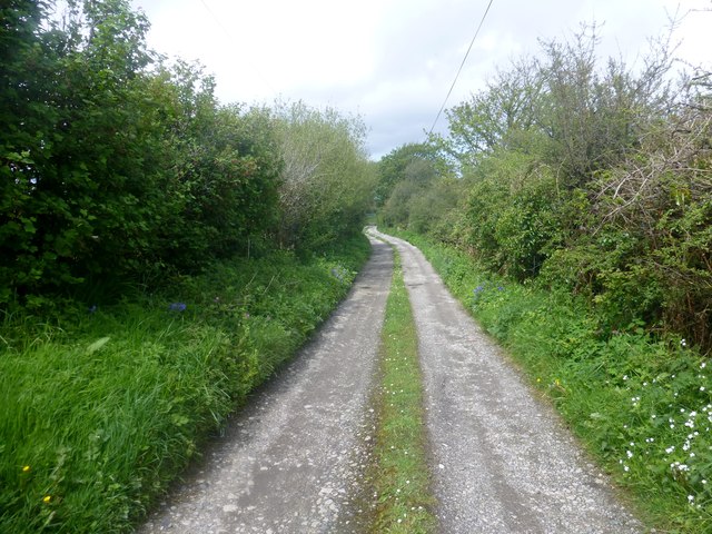
Image: © Rude Health Taken: 9 May 2015
Polkanuggo Lane has two overgrown hedges and I used this lane to walk towards Higher Trolvis Quarry trig point.
Images are licensed for reuse under creativecommons.org/licenses/by-sa/2.0
Image Location
Latitude
50.166171
Longitude
-5.166352