Higher Trolvis Quarry Trig Point
Introduction
The photograph on this page of Higher Trolvis Quarry Trig Point by Rude Health as part of the Geograph project.
The Geograph project started in 2005 with the aim of publishing, organising and preserving representative images for every square kilometre of Great Britain, Ireland and the Isle of Man.

There are currently over 7.5m images from over 14,400 individuals and you can help contribute to the project by visiting https://www.geograph.org.uk
Higher Trolvis Quarry Trig Point
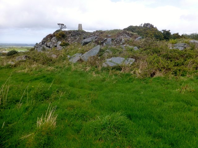
Image: © Rude Health Taken: 9 May 2015
Walked down Polkanuggo Lane then took the path at the side of a house as the lane turns to the left. Walked up through bracken. Trig sat on rocks.
Images are licensed for reuse under creativecommons.org/licenses/by-sa/2.0
Image Location
Latitude
50.168351
Longitude
-5.162295