Footpath beside Scale Beck
Introduction
The photograph on this page of Footpath beside Scale Beck by Karl and Ali as part of the Geograph project.
The Geograph project started in 2005 with the aim of publishing, organising and preserving representative images for every square kilometre of Great Britain, Ireland and the Isle of Man.

There are currently over 7.5m images from over 14,400 individuals and you can help contribute to the project by visiting https://www.geograph.org.uk
Footpath beside Scale Beck
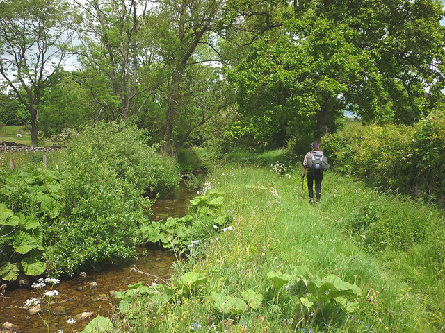
Image: © Karl and Ali Taken: 21 Jun 2015
Just north of Howe Slacks the path runs close by Scale Beck (shortly to join with Dry and Asby Becks to form Hoff Beck). The whole section down to Rutter Force (and beyond) is delightfully pastoral (assuming you don't mind cow pats).
Images are licensed for reuse under creativecommons.org/licenses/by-sa/2.0
Image Location
Latitude
54.528521
Longitude
-2.501063