Houses at Ashfield
Introduction
The photograph on this page of Houses at Ashfield by Derek Harper as part of the Geograph project.
The Geograph project started in 2005 with the aim of publishing, organising and preserving representative images for every square kilometre of Great Britain, Ireland and the Isle of Man.

There are currently over 7.5m images from over 14,400 individuals and you can help contribute to the project by visiting https://www.geograph.org.uk
Houses at Ashfield
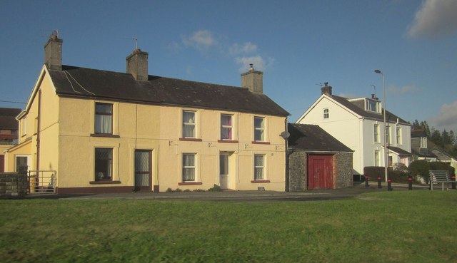
Image: © Derek Harper Taken: 2 Jan 2015
By the roundabout where the A4069 leaves the A40. The most prominent building here is also shown in Image Between it and another pair of semis is the lane from the roundabout to Hermon.
Images are licensed for reuse under creativecommons.org/licenses/by-sa/2.0
Image Location


Leaflet Map data © OpenStreetMap
Latitude
51.940608
Longitude
-3.902038