A40 at Allt Llwyncelyn
Introduction
The photograph on this page of A40 at Allt Llwyncelyn by Derek Harper as part of the Geograph project.
The Geograph project started in 2005 with the aim of publishing, organising and preserving representative images for every square kilometre of Great Britain, Ireland and the Isle of Man.

There are currently over 7.5m images from over 14,400 individuals and you can help contribute to the project by visiting https://www.geograph.org.uk
A40 at Allt Llwyncelyn
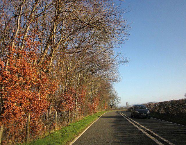
Image: © Derek Harper Taken: 2 Jan 2015
The main road passes a wood as it crosses a modest hill.
Images are licensed for reuse under creativecommons.org/licenses/by-sa/2.0
Image Location
Latitude
51.894363
Longitude
-4.032634