Hudscott Manor Main Gateway
Introduction
The photograph on this page of Hudscott Manor Main Gateway by David Brinicombe as part of the Geograph project.
The Geograph project started in 2005 with the aim of publishing, organising and preserving representative images for every square kilometre of Great Britain, Ireland and the Isle of Man.

There are currently over 7.5m images from over 14,400 individuals and you can help contribute to the project by visiting https://www.geograph.org.uk
Hudscott Manor Main Gateway
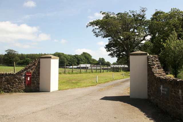
Image: © David Brinicombe Taken: 18 Jun 2015
Some Hudscott outbuildings are visible in the distance and the Manor House is behind them to the right. Note the postbox which is still in use set into the left wall. The nameplate can just be seen on the right hand wall. Geograph Note: Initially it was thought that the entrance was not in square SS6424, but on close inspection of the large map, the division runs along the North line of the road, The photographer's position was on the road inside the grid square in a lull in traffic.
Images are licensed for reuse under creativecommons.org/licenses/by-sa/2.0
Image Location
Latitude
51.00822
Longitude
-3.926071