Nineteenth-century benchmark on railway bridge
Introduction
The photograph on this page of Nineteenth-century benchmark on railway bridge by Shantavira as part of the Geograph project.
The Geograph project started in 2005 with the aim of publishing, organising and preserving representative images for every square kilometre of Great Britain, Ireland and the Isle of Man.

There are currently over 7.5m images from over 14,400 individuals and you can help contribute to the project by visiting https://www.geograph.org.uk
Nineteenth-century benchmark on railway bridge
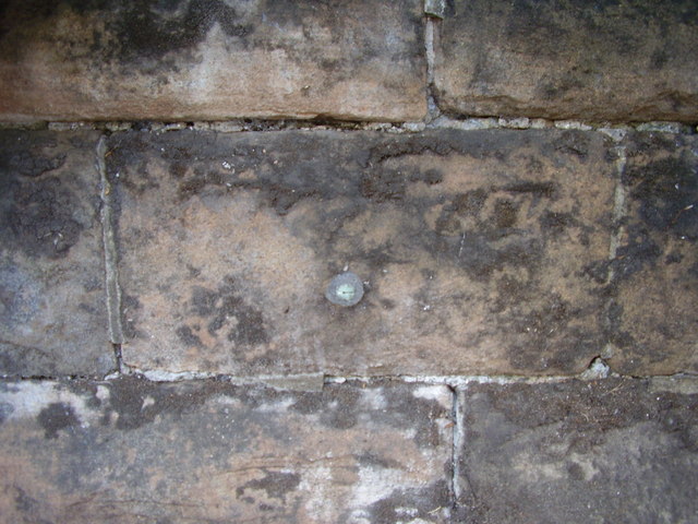
Image: © Shantavira Taken: 16 Jun 2015
This bench mark was established between 1850 and 1856 during the First primary levelling of England & Wales, and was levelled with a height of 281.2250 feet [85.7174 metres] above mean sea level (Liverpool datum). It was included on the Basingstoke to Coventry levelling line. The surveyor's description was "No. 229. Bolt in West battlement of bridge over Leamington and Coventry railway ; 2.37 ft. below top of battlement" (Public Abstract p.241). Not found on the 1888 map, perhaps because the arrow mark had already worn away by then. Only the bolt remains. It can be found on the north face of the parapet, west of the railway, beneath the overhanging branches of a sycamore tree.
Images are licensed for reuse under creativecommons.org/licenses/by-sa/2.0
Image Location
Latitude
52.336399
Longitude
-1.572139