Footpath to Monks Farm
Introduction
The photograph on this page of Footpath to Monks Farm by Glyn Baker as part of the Geograph project.
The Geograph project started in 2005 with the aim of publishing, organising and preserving representative images for every square kilometre of Great Britain, Ireland and the Isle of Man.

There are currently over 7.5m images from over 14,400 individuals and you can help contribute to the project by visiting https://www.geograph.org.uk
Footpath to Monks Farm
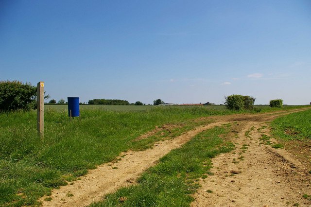
Image: © Glyn Baker Taken: 2 Jun 2007
This is the footpath from temple lane to Monks farm, which can just be seen on the Horizon. The blue bucket behind the waymark is a game bird feeder.
Images are licensed for reuse under creativecommons.org/licenses/by-sa/2.0
Image Location


Leaflet Map data © OpenStreetMap
Latitude
51.848918
Longitude
0.680893