Top of Fairfield Street
Introduction
The photograph on this page of Top of Fairfield Street by Gerald England as part of the Geograph project.
The Geograph project started in 2005 with the aim of publishing, organising and preserving representative images for every square kilometre of Great Britain, Ireland and the Isle of Man.

There are currently over 7.5m images from over 14,400 individuals and you can help contribute to the project by visiting https://www.geograph.org.uk
Top of Fairfield Street
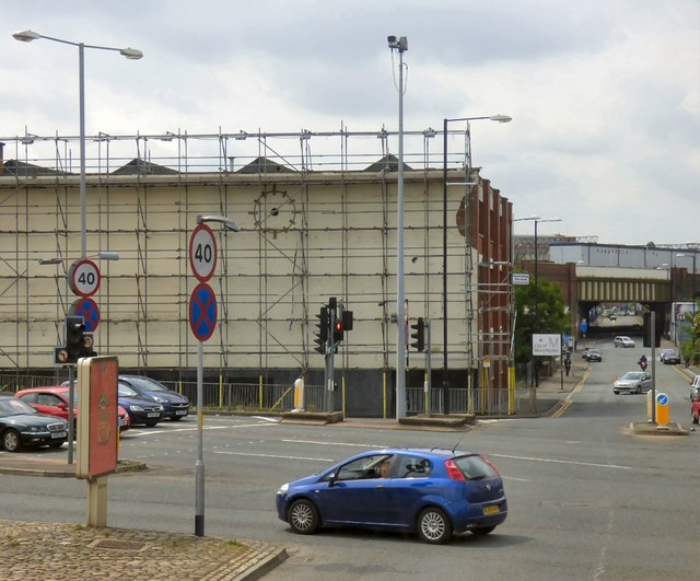
Image: © Gerald England Taken: 13 Jun 2015
Before the A635 was diverted into the Mancunian Way it used to continue into Fairfield Street. Since then the road is now the B6469. The side of the building at the top of Fairfield appears to have a clock-face but there are no hands. The scaffolding in front is normally used to support a large advertising billboard. Presumably it is awaiting the arrival of a new one.
Images are licensed for reuse under creativecommons.org/licenses/by-sa/2.0
Image Location
Latitude
53.475286
Longitude
-2.220232