Pylon Island
Introduction
The photograph on this page of Pylon Island by Donnylad as part of the Geograph project.
The Geograph project started in 2005 with the aim of publishing, organising and preserving representative images for every square kilometre of Great Britain, Ireland and the Isle of Man.

There are currently over 7.5m images from over 14,400 individuals and you can help contribute to the project by visiting https://www.geograph.org.uk
Pylon Island
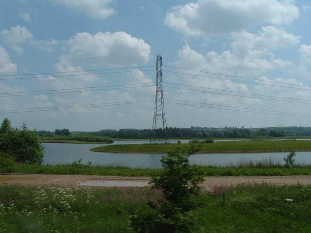
Image: © Donnylad Taken: 2 Jun 2007
Former Gravel pit now given over to leisure puposes. It has been landscaped and this pylon sits on its own island in the middle of the lake.
Images are licensed for reuse under creativecommons.org/licenses/by-sa/2.0
Image Location
Latitude
53.022478
Longitude
-0.96845