Lower weir at Ludlow
Introduction
The photograph on this page of Lower weir at Ludlow by Trevor Rickard as part of the Geograph project.
The Geograph project started in 2005 with the aim of publishing, organising and preserving representative images for every square kilometre of Great Britain, Ireland and the Isle of Man.

There are currently over 7.5m images from over 14,400 individuals and you can help contribute to the project by visiting https://www.geograph.org.uk
Lower weir at Ludlow
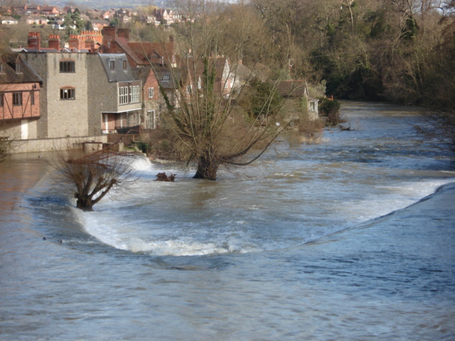
Image: © Trevor Rickard Taken: 9 Mar 2007
Close up of the weir downstream from the Ludford Bridge.
Images are licensed for reuse under creativecommons.org/licenses/by-sa/2.0
Image Location


Leaflet Map data © OpenStreetMap
Latitude
52.363866
Longitude
-2.715142