
Sunwool Farm and Sage Barn
Introduction
The photograph on this page of Sunwool Farm and Sage Barn by Stefan Czapski as part of the Geograph project.
The Geograph project started in 2005 with the aim of publishing, organising and preserving representative images for every square kilometre of Great Britain, Ireland and the Isle of Man.

There are currently over 7.5m images from over 14,400 individuals and you can help contribute to the project by visiting https://www.geograph.org.uk
Sunwool Farm and Sage Barn
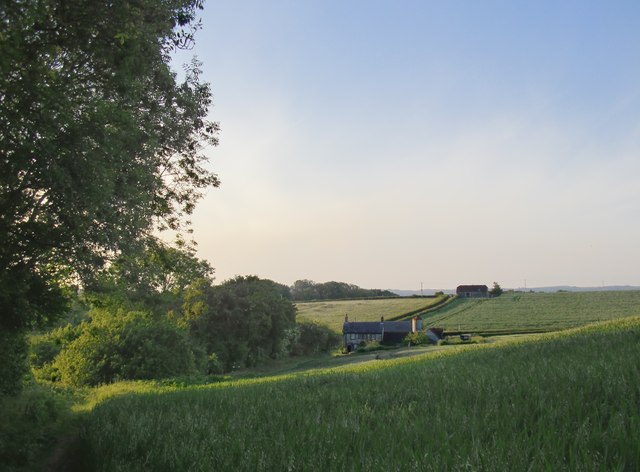
Image: © Stefan Czapski Taken: 16 Jun 2015
Sunwool is still a working farm, whereas Sage Barn has been converted for residential purposes. Photo taken from the path that descends from Manorfarm Down. A little way ahead the path turns left through a gap in the hedge, leaving (what was in June 2015) a wheatfield and heading towards Cocking church through a hay meadow. The woodland is mainly beech and ash, with an understorey of field maple, alder, elder and hawthorn.
Images are licensed for reuse under creativecommons.org/licenses/by-sa/2.0
Image Location

Latitude
50.949665
Longitude
-0.746504