Road from Gilfach Goch Welfare Park to Heol-y-Parc
Introduction
The photograph on this page of Road from Gilfach Goch Welfare Park to Heol-y-Parc by Jaggery as part of the Geograph project.
The Geograph project started in 2005 with the aim of publishing, organising and preserving representative images for every square kilometre of Great Britain, Ireland and the Isle of Man.

There are currently over 7.5m images from over 14,400 individuals and you can help contribute to the project by visiting https://www.geograph.org.uk
Road from Gilfach Goch Welfare Park to Heol-y-Parc
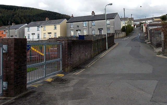
Image: © Jaggery Taken: 11 Apr 2014
The road passes the edge of a children's play area. http://www.geograph.org.uk/photo/4528143 The houses are at the eastern end of Heol-y-Parc.
Images are licensed for reuse under creativecommons.org/licenses/by-sa/2.0
Image Location
Latitude
51.593885
Longitude
-3.476053