Tethered horse next to cycleway on 'The Lunt'
Introduction
The photograph on this page of Tethered horse next to cycleway on 'The Lunt' by John M as part of the Geograph project.
The Geograph project started in 2005 with the aim of publishing, organising and preserving representative images for every square kilometre of Great Britain, Ireland and the Isle of Man.

There are currently over 7.5m images from over 14,400 individuals and you can help contribute to the project by visiting https://www.geograph.org.uk
Tethered horse next to cycleway on 'The Lunt'
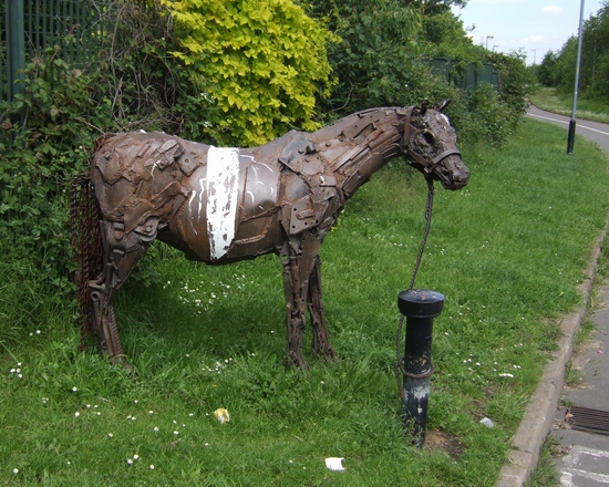
Image: © John M Taken: 2 Jun 2007
The cycleway from Bilston runs alongside the Black Country Route. You would not get very far on this fellow!
Images are licensed for reuse under creativecommons.org/licenses/by-sa/2.0
Image Location
Latitude
52.567661
Longitude
-2.061331