Duke's Lock House at Wolvercote Junction
Introduction
The photograph on this page of Duke's Lock House at Wolvercote Junction by Mat Fascione as part of the Geograph project.
The Geograph project started in 2005 with the aim of publishing, organising and preserving representative images for every square kilometre of Great Britain, Ireland and the Isle of Man.

There are currently over 7.5m images from over 14,400 individuals and you can help contribute to the project by visiting https://www.geograph.org.uk
Duke's Lock House at Wolvercote Junction
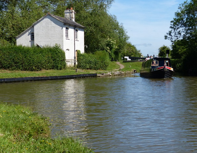
Image: © Mat Fascione Taken: 15 Jun 2015
Wolvercote Junction is where Duke's Cut joins the Oxford Canal. The narrowboat has just negotiated Duke's Lock No 44.
Images are licensed for reuse under creativecommons.org/licenses/by-sa/2.0
Image Location
Latitude
51.792474
Longitude
-1.29413