Druminnis church [1]
Introduction
The photograph on this page of Druminnis church [1] by Michael Dibb as part of the Geograph project.
The Geograph project started in 2005 with the aim of publishing, organising and preserving representative images for every square kilometre of Great Britain, Ireland and the Isle of Man.

There are currently over 7.5m images from over 14,400 individuals and you can help contribute to the project by visiting https://www.geograph.org.uk
Druminnis church [1]
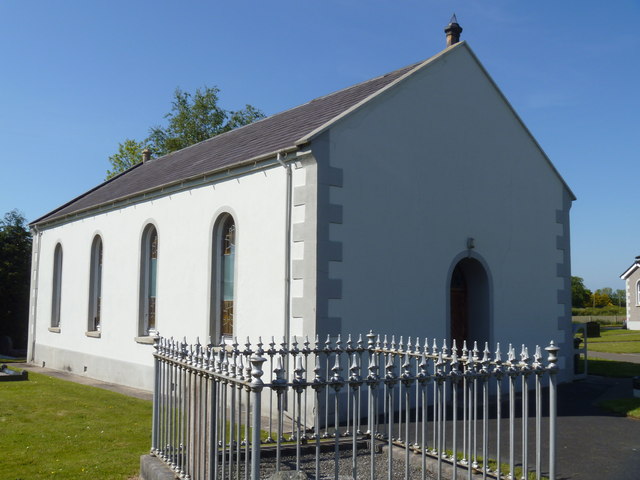
Image: © Michael Dibb Taken: 10 Jun 2015
The church is Presbyterian and is located alongside Hamiltonsbawn Road. This is the old meeting hall opened in 1842. There are more details at http://www.druminnis.com/history.html
Images are licensed for reuse under creativecommons.org/licenses/by-sa/2.0
Image Location
Latitude
54.34139
Longitude
-6.572355