Track on a former railway route, Rodborough, Stroud
Introduction
The photograph on this page of Track on a former railway route, Rodborough, Stroud by Jaggery as part of the Geograph project.
The Geograph project started in 2005 with the aim of publishing, organising and preserving representative images for every square kilometre of Great Britain, Ireland and the Isle of Man.

There are currently over 7.5m images from over 14,400 individuals and you can help contribute to the project by visiting https://www.geograph.org.uk
Track on a former railway route, Rodborough, Stroud
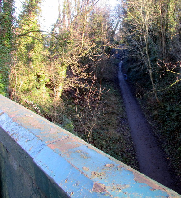
Image: © Jaggery Taken: 28 Dec 2014
Viewed from this http://www.geograph.org.uk/photo/4526754 Bath Road bridge. The width of the track between steep banks suggests that this was a single-track railway line.
Images are licensed for reuse under creativecommons.org/licenses/by-sa/2.0
Image Location
Latitude
51.742224
Longitude
-2.226613