Flagstones on an alternative route for Sowerby Bridge FP77, Norland
Introduction
The photograph on this page of Flagstones on an alternative route for Sowerby Bridge FP77, Norland by Humphrey Bolton as part of the Geograph project.
The Geograph project started in 2005 with the aim of publishing, organising and preserving representative images for every square kilometre of Great Britain, Ireland and the Isle of Man.

There are currently over 7.5m images from over 14,400 individuals and you can help contribute to the project by visiting https://www.geograph.org.uk
Flagstones on an alternative route for Sowerby Bridge FP77, Norland
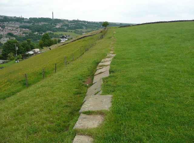
Image: © Humphrey Bolton Taken: 15 Jun 2015
This route along the bottom edge of the field is not shown on OS maps, but is the footpath according to the farmer's signs and is paved with old flagstones.
Images are licensed for reuse under creativecommons.org/licenses/by-sa/2.0
Image Location
Latitude
53.70528
Longitude
-1.903316