Stryd Fawr Prestatyn High Street
Introduction
The photograph on this page of Stryd Fawr Prestatyn High Street by Alan Richards as part of the Geograph project.
The Geograph project started in 2005 with the aim of publishing, organising and preserving representative images for every square kilometre of Great Britain, Ireland and the Isle of Man.

There are currently over 7.5m images from over 14,400 individuals and you can help contribute to the project by visiting https://www.geograph.org.uk
Stryd Fawr Prestatyn High Street
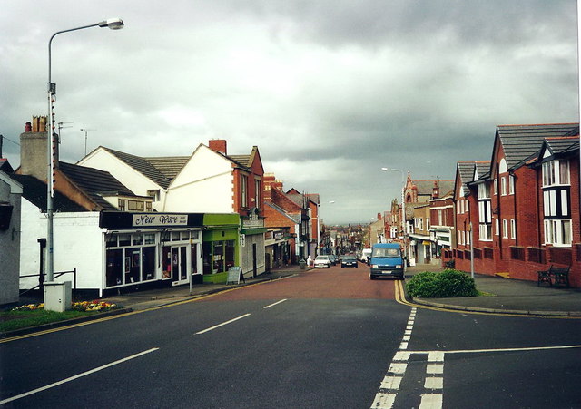
Image: © Alan Richards Taken: 24 Apr 2000
Llwybr Clawdd Offa yn dilyn y Stryd Fawr ym Mhrestatyn. Offa's Dyke Path following High Street in Prestatyn.
Images are licensed for reuse under creativecommons.org/licenses/by-sa/2.0
Image Location
Latitude
53.331806
Longitude
-3.40082