Woodhall Lane at junction with bridleway 10
Introduction
The photograph on this page of Woodhall Lane at junction with bridleway 10 by Robin Webster as part of the Geograph project.
The Geograph project started in 2005 with the aim of publishing, organising and preserving representative images for every square kilometre of Great Britain, Ireland and the Isle of Man.

There are currently over 7.5m images from over 14,400 individuals and you can help contribute to the project by visiting https://www.geograph.org.uk
Woodhall Lane at junction with bridleway 10
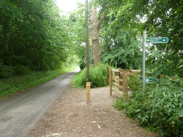
Image: © Robin Webster Taken: 14 Jun 2015
The recent work here is probably associated with an upgrade to a bridleway - it is only shown as a footpath on maps.
Images are licensed for reuse under creativecommons.org/licenses/by-sa/2.0
Image Location
Latitude
51.685886
Longitude
-0.279851