Amwell Hill Pumping Station, Amwell Hill, SG12
Introduction
The photograph on this page of Amwell Hill Pumping Station, Amwell Hill, SG12 by Mike Quinn as part of the Geograph project.
The Geograph project started in 2005 with the aim of publishing, organising and preserving representative images for every square kilometre of Great Britain, Ireland and the Isle of Man.

There are currently over 7.5m images from over 14,400 individuals and you can help contribute to the project by visiting https://www.geograph.org.uk
Amwell Hill Pumping Station, Amwell Hill, SG12
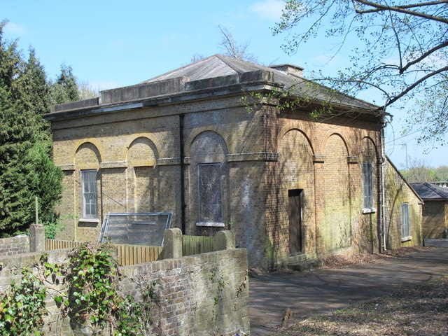
Image: © Mike Quinn Taken: 23 Apr 2015
The pumping station feeds water into the New River - which is neither new (having been built at the beginning of the 17th C) nor a river (it's an aqueduct supplying water to London, taken from the River Lea near Hertford and from Chadwell Spring, Amwell Spring, and other springs and wells along its course). For further info, see the Wiki entry http://en.wikipedia.org/wiki/New_River_(England) .
Images are licensed for reuse under creativecommons.org/licenses/by-sa/2.0
Image Location


Leaflet Map data © OpenStreetMap
Latitude
51.796862
Longitude
-0.018069