Ploughed field on Skibbowick Hill
Introduction
The photograph on this page of Ploughed field on Skibbowick Hill by Oliver Dixon as part of the Geograph project.
The Geograph project started in 2005 with the aim of publishing, organising and preserving representative images for every square kilometre of Great Britain, Ireland and the Isle of Man.

There are currently over 7.5m images from over 14,400 individuals and you can help contribute to the project by visiting https://www.geograph.org.uk
Ploughed field on Skibbowick Hill
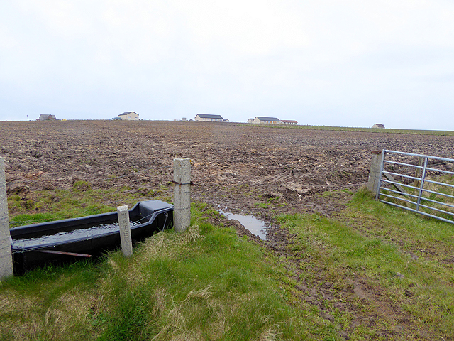
Image: © Oliver Dixon Taken: 5 May 2015
The houses on the skyline are off the Tankerness Hall Road Image The bungalow with the red roof can be seen in closeup in Image
Images are licensed for reuse under creativecommons.org/licenses/by-sa/2.0
Image Location
Latitude
58.976209
Longitude
-2.815055