Iwerne Stepleton: unseen within the bends
Introduction
The photograph on this page of Iwerne Stepleton: unseen within the bends by Chris Downer as part of the Geograph project.
The Geograph project started in 2005 with the aim of publishing, organising and preserving representative images for every square kilometre of Great Britain, Ireland and the Isle of Man.

There are currently over 7.5m images from over 14,400 individuals and you can help contribute to the project by visiting https://www.geograph.org.uk
Iwerne Stepleton: unseen within the bends
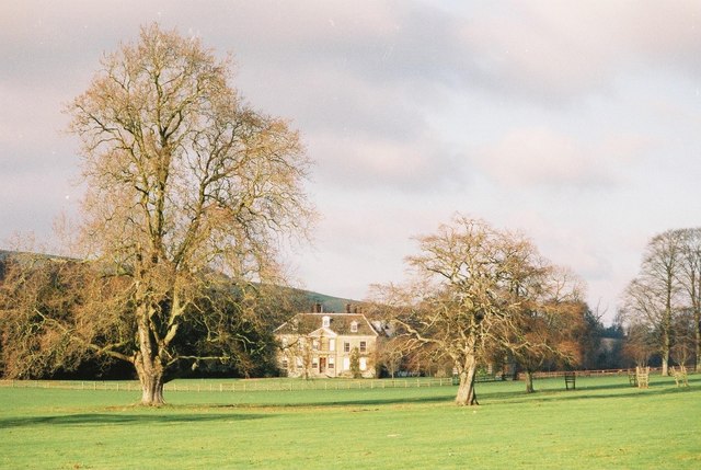
Image: © Chris Downer Taken: Unknown
Within the Stepleton bends Image and unseen from the road, Stepleton House and its parish church (not pictured) make up the 'village' of Iwerne Stepleton.
Images are licensed for reuse under creativecommons.org/licenses/by-sa/2.0
Image Location


Leaflet Map data © OpenStreetMap
Latitude
50.900921
Longitude
-2.195623