Alley, Plainmoor
Introduction
The photograph on this page of Alley, Plainmoor by Derek Harper as part of the Geograph project.
The Geograph project started in 2005 with the aim of publishing, organising and preserving representative images for every square kilometre of Great Britain, Ireland and the Isle of Man.

There are currently over 7.5m images from over 14,400 individuals and you can help contribute to the project by visiting https://www.geograph.org.uk
Alley, Plainmoor
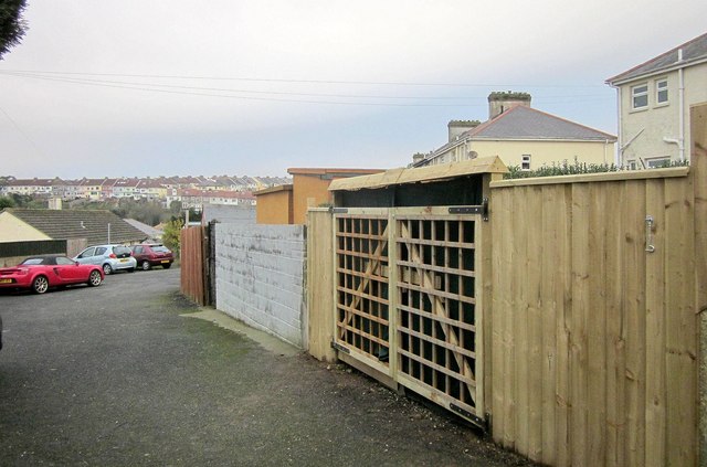
Image: © Derek Harper Taken: 29 Nov 2014
The point of this photo, which shows one side of a useful little link path between St Margaret's Avenue and Westhill Avenue Close (ahead), was to demonstrate the improvement to a dilapidated and damaged gate that was here previously, but, rather crucially, I don't seem to have submitted a photo of that. Still looking.
Images are licensed for reuse under creativecommons.org/licenses/by-sa/2.0
Image Location
Latitude
50.478263
Longitude
-3.529809