Fflodiard / Sluice gate
Introduction
The photograph on this page of Fflodiard / Sluice gate by Alan Richards as part of the Geograph project.
The Geograph project started in 2005 with the aim of publishing, organising and preserving representative images for every square kilometre of Great Britain, Ireland and the Isle of Man.

There are currently over 7.5m images from over 14,400 individuals and you can help contribute to the project by visiting https://www.geograph.org.uk
Fflodiard / Sluice gate
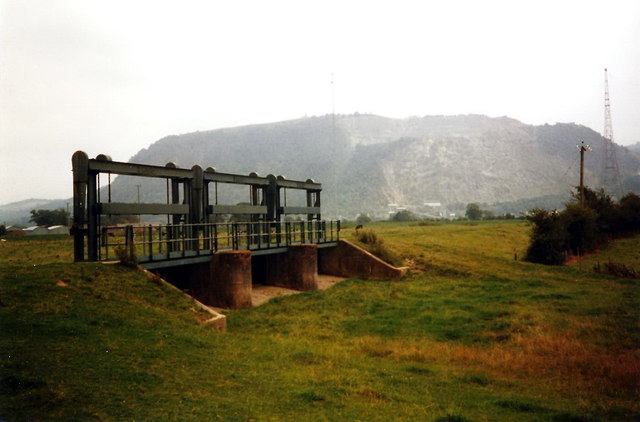
Image: © Alan Richards Taken: 26 Aug 1998
Llwybr Clawdd Offa'n mynd heibio i fflodiard er atal llifogydd pan dyrr Afon Hafren gerllaw ei glannau. . Yn y pellter mae Bryniau'r Breidden. The Offa's Dyke Path passing a sluice gate which prevents flooding when the nearby Severn River burst its banks. In the distance are the Breiddens.
Images are licensed for reuse under creativecommons.org/licenses/by-sa/2.0
Image Location


Leaflet Map data © OpenStreetMap
Latitude
52.733327
Longitude
-3.066096