Manford Industrial Estate
Introduction
The photograph on this page of Manford Industrial Estate by Des Blenkinsopp as part of the Geograph project.
The Geograph project started in 2005 with the aim of publishing, organising and preserving representative images for every square kilometre of Great Britain, Ireland and the Isle of Man.

There are currently over 7.5m images from over 14,400 individuals and you can help contribute to the project by visiting https://www.geograph.org.uk
Manford Industrial Estate
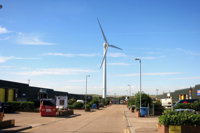
Image: © Des Blenkinsopp Taken: 4 Jun 2015
On the bank of the Thames Estuary this turbine probably gets its fair share of the breeze.
Images are licensed for reuse under creativecommons.org/licenses/by-sa/2.0
Image Location
Latitude
51.47822
Longitude
0.196061