Wheat crop field west of Coldham Wood
Introduction
The photograph on this page of Wheat crop field west of Coldham Wood by Evelyn Simak as part of the Geograph project.
The Geograph project started in 2005 with the aim of publishing, organising and preserving representative images for every square kilometre of Great Britain, Ireland and the Isle of Man.

There are currently over 7.5m images from over 14,400 individuals and you can help contribute to the project by visiting https://www.geograph.org.uk
Wheat crop field west of Coldham Wood
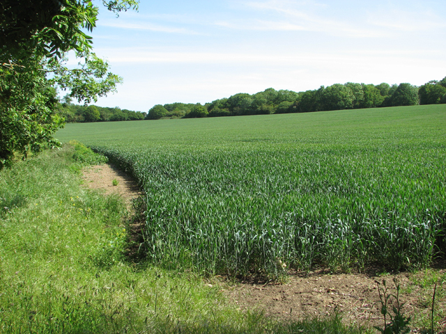
Image: © Evelyn Simak Taken: 11 Jun 2015
During WW2, this field was the location of Site 4, one of the accommodation sites of RAF Horham which was used by the USAAF during the war.
Images are licensed for reuse under creativecommons.org/licenses/by-sa/2.0
Image Location
Latitude
52.314274
Longitude
1.20844