Leek Road at Joiner's Square
Introduction
The photograph on this page of Leek Road at Joiner's Square by David Weston as part of the Geograph project.
The Geograph project started in 2005 with the aim of publishing, organising and preserving representative images for every square kilometre of Great Britain, Ireland and the Isle of Man.

There are currently over 7.5m images from over 14,400 individuals and you can help contribute to the project by visiting https://www.geograph.org.uk
Leek Road at Joiner's Square
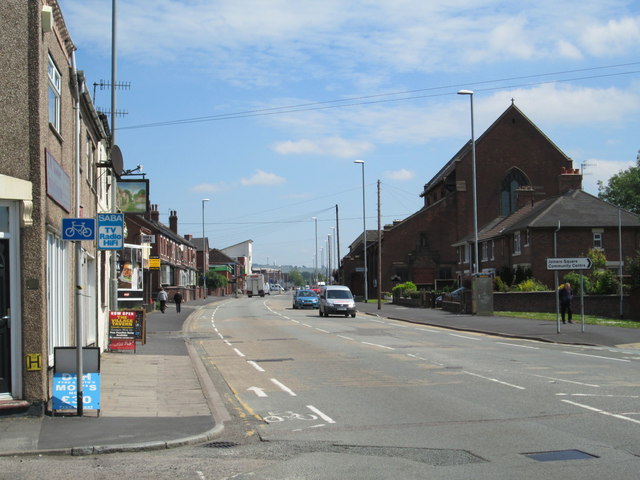
Image: © David Weston Taken: 10 Jun 2015
The main road (the A52) running north-east of the town of Stoke-upon-Trent. On the left, near the junction in the foreground, the sign for the Village Tavern pub can be seen. On the right is All Saints Church.
Images are licensed for reuse under creativecommons.org/licenses/by-sa/2.0
Image Location
Latitude
53.017393
Longitude
-2.166761