Footpath near Park Farm
Introduction
The photograph on this page of Footpath near Park Farm by John Sutton as part of the Geograph project.
The Geograph project started in 2005 with the aim of publishing, organising and preserving representative images for every square kilometre of Great Britain, Ireland and the Isle of Man.

There are currently over 7.5m images from over 14,400 individuals and you can help contribute to the project by visiting https://www.geograph.org.uk
Footpath near Park Farm
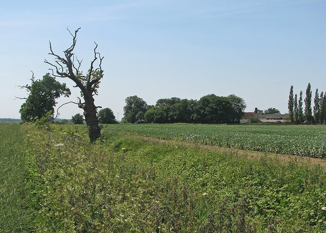
Image: © John Sutton Taken: 11 Jun 2015
The central section of the bridleway over the hills from Great Abington to Great Chesterford is a narrow field-edge path. There was oilseed rape to the left and field beans to the right on this sunny June morning. Park Farm shows between the trees on the right.
Images are licensed for reuse under creativecommons.org/licenses/by-sa/2.0
Image Location


Leaflet Map data © OpenStreetMap
Latitude
52.087179
Longitude
0.221021