Bobbingworth: Footpath approaching Bilsdens from the south
Introduction
The photograph on this page of Bobbingworth: Footpath approaching Bilsdens from the south by Nigel Cox as part of the Geograph project.
The Geograph project started in 2005 with the aim of publishing, organising and preserving representative images for every square kilometre of Great Britain, Ireland and the Isle of Man.

There are currently over 7.5m images from over 14,400 individuals and you can help contribute to the project by visiting https://www.geograph.org.uk
Bobbingworth: Footpath approaching Bilsdens from the south
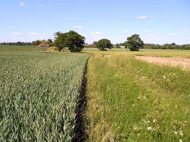
Image: © Nigel Cox Taken: 7 Jun 2015
Your photographer did not have the time to venture further north to Bilsdens, which is visible in the distance beyond the trees, but the English Heritage website states that there are four listed buildings there, the farmhouse, granary, barn and stables. The old Ordnance Survey 1" to a mile map calls the place Bilsdons incidentally.
Images are licensed for reuse under creativecommons.org/licenses/by-sa/2.0
Image Location
Latitude
51.714337
Longitude
0.221814