Cliffe Cut
Introduction
The photograph on this page of Cliffe Cut by David Anstiss as part of the Geograph project.
The Geograph project started in 2005 with the aim of publishing, organising and preserving representative images for every square kilometre of Great Britain, Ireland and the Isle of Man.

There are currently over 7.5m images from over 14,400 individuals and you can help contribute to the project by visiting https://www.geograph.org.uk
Cliffe Cut
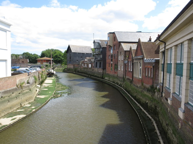
Image: © David Anstiss Taken: 9 Jun 2015
As seen from Lewes Bridge (on Cliffe High Street). This is a section of the River Ouse, looking downstream as it heads towards Newhaven.
Images are licensed for reuse under creativecommons.org/licenses/by-sa/2.0
Image Location
Latitude
50.873877
Longitude
0.016005