The "New River", the former Clissold House, and St. Mary's Church
Introduction
The photograph on this page of The "New River", the former Clissold House, and St. Mary's Church by Mike Quinn as part of the Geograph project.
The Geograph project started in 2005 with the aim of publishing, organising and preserving representative images for every square kilometre of Great Britain, Ireland and the Isle of Man.

There are currently over 7.5m images from over 14,400 individuals and you can help contribute to the project by visiting https://www.geograph.org.uk
The "New River", the former Clissold House, and St. Mary's Church
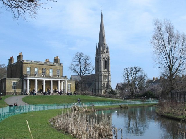
Image: © Mike Quinn Taken: 11 Mar 2015
See Image and Image The linear pond in Clissold Park marks the course of the New River http://en.wikipedia.org/wiki/New_River_(England) . [The New River itself currently ends in Stoke Newington.]
Images are licensed for reuse under creativecommons.org/licenses/by-sa/2.0
Image Location
Latitude
51.560662
Longitude
-0.084911