Snag Lane
Introduction
The photograph on this page of Snag Lane by Marathon as part of the Geograph project.
The Geograph project started in 2005 with the aim of publishing, organising and preserving representative images for every square kilometre of Great Britain, Ireland and the Isle of Man.

There are currently over 7.5m images from over 14,400 individuals and you can help contribute to the project by visiting https://www.geograph.org.uk
Snag Lane
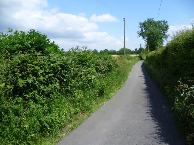
Image: © Marathon Taken: 10 Jun 2015
This is the far southern end of Snag Lane, the northern end of which is an ancient trackway and meets the A21 at Green Street Green. Just behind where I am standing, Snag Lane meets Cudham Lane North.
Images are licensed for reuse under creativecommons.org/licenses/by-sa/2.0
Image Location
Latitude
51.331227
Longitude
0.075335