Crammers farmhouse
Introduction
The photograph on this page of Crammers farmhouse by Derek Harper as part of the Geograph project.
The Geograph project started in 2005 with the aim of publishing, organising and preserving representative images for every square kilometre of Great Britain, Ireland and the Isle of Man.

There are currently over 7.5m images from over 14,400 individuals and you can help contribute to the project by visiting https://www.geograph.org.uk
Crammers farmhouse
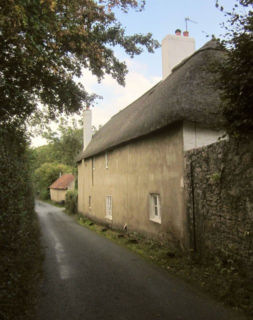
Image: © Derek Harper Taken: 2 Oct 2014
"Probably C18 ... a vernacular house in a conspicuous position adjacent to the road" http://list.historicengland.org.uk/resultsingle.aspx?uid=1334234&searchtype=mapsearch . The barn is one of several other farm buildings on the right, close to the Kate Brook.
Images are licensed for reuse under creativecommons.org/licenses/by-sa/2.0
Image Location
Latitude
50.617034
Longitude
-3.583642