Path between Green Lanes and Clissold Crescent, N16
Introduction
The photograph on this page of Path between Green Lanes and Clissold Crescent, N16 by Mike Quinn as part of the Geograph project.
The Geograph project started in 2005 with the aim of publishing, organising and preserving representative images for every square kilometre of Great Britain, Ireland and the Isle of Man.

There are currently over 7.5m images from over 14,400 individuals and you can help contribute to the project by visiting https://www.geograph.org.uk
Path between Green Lanes and Clissold Crescent, N16
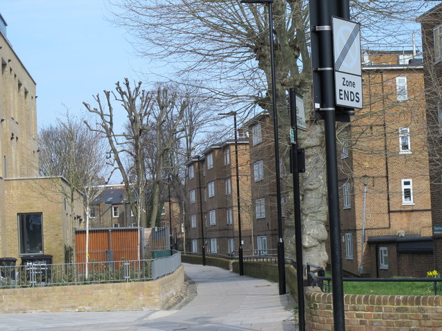
Image: © Mike Quinn Taken: 11 Mar 2015
The path marks the former course of the New River http://en.wikipedia.org/wiki/New_River_(England).
Images are licensed for reuse under creativecommons.org/licenses/by-sa/2.0
Image Location
Latitude
51.556062
Longitude
-0.089576