Track and pylon
Introduction
The photograph on this page of Track and pylon by Robin Webster as part of the Geograph project.
The Geograph project started in 2005 with the aim of publishing, organising and preserving representative images for every square kilometre of Great Britain, Ireland and the Isle of Man.

There are currently over 7.5m images from over 14,400 individuals and you can help contribute to the project by visiting https://www.geograph.org.uk
Track and pylon
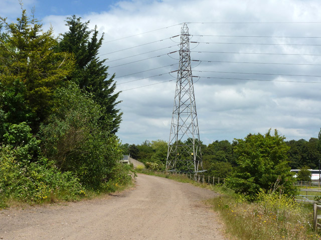
Image: © Robin Webster Taken: 10 Jun 2015
The track is used by a public footpath from the A41 to Patchetts Green. A bridge over the M1 can just be glimpsed round the corner.
Images are licensed for reuse under creativecommons.org/licenses/by-sa/2.0
Image Location
Latitude
51.663489
Longitude
-0.354731