Eastern perimeter wall of Clearwell Castle
Introduction
The photograph on this page of Eastern perimeter wall of Clearwell Castle by Jaggery as part of the Geograph project.
The Geograph project started in 2005 with the aim of publishing, organising and preserving representative images for every square kilometre of Great Britain, Ireland and the Isle of Man.

There are currently over 7.5m images from over 14,400 individuals and you can help contribute to the project by visiting https://www.geograph.org.uk
Eastern perimeter wall of Clearwell Castle
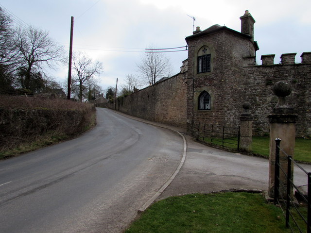
Image: © Jaggery Taken: 22 Mar 2015
Viewed along Church Street. Clearwell Castle, http://www.geograph.org.uk/photo/4518313 a country house built in 1727, is not open to the public - visitors by appointment only.
Images are licensed for reuse under creativecommons.org/licenses/by-sa/2.0
Image Location


Leaflet Map data © OpenStreetMap
Latitude
51.767676
Longitude
-2.622643