NCN26 by Drove Rhyne
Introduction
The photograph on this page of NCN26 by Drove Rhyne by Derek Harper as part of the Geograph project.
The Geograph project started in 2005 with the aim of publishing, organising and preserving representative images for every square kilometre of Great Britain, Ireland and the Isle of Man.

There are currently over 7.5m images from over 14,400 individuals and you can help contribute to the project by visiting https://www.geograph.org.uk
NCN26 by Drove Rhyne
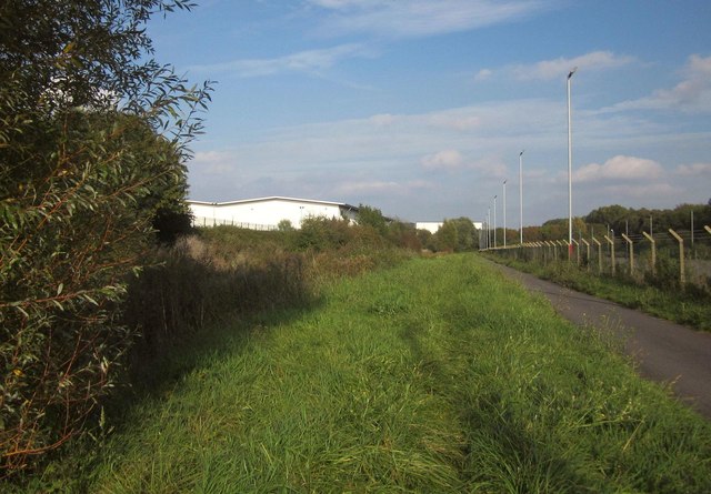
Image: © Derek Harper Taken: 30 Sep 2014
With the Royal Portbury Dock Industrial Estate on the other side of the rhyne (left). Behind the fence on the right is one of many parking areas in the vicinity for new vehicles.
Images are licensed for reuse under creativecommons.org/licenses/by-sa/2.0
Image Location
Latitude
51.47995
Longitude
-2.717211