Llanfihangel-y-Creuddyn
Introduction
The photograph on this page of Llanfihangel-y-Creuddyn by Eirian Evans as part of the Geograph project.
The Geograph project started in 2005 with the aim of publishing, organising and preserving representative images for every square kilometre of Great Britain, Ireland and the Isle of Man.

There are currently over 7.5m images from over 14,400 individuals and you can help contribute to the project by visiting https://www.geograph.org.uk
Llanfihangel-y-Creuddyn
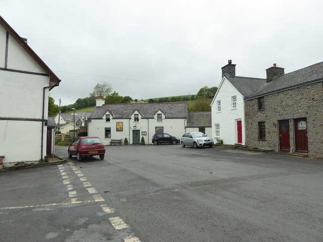
Image: © Eirian Evans Taken: 22 May 2015
Five roads meet at the village centre, where the Farmers inn is situated
Images are licensed for reuse under creativecommons.org/licenses/by-sa/2.0
Image Location
Latitude
52.366727
Longitude
-3.962304