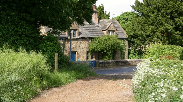
Bridleway
Introduction
The photograph on this page of Bridleway by Alan Walker as part of the Geograph project.
The Geograph project started in 2005 with the aim of publishing, organising and preserving representative images for every square kilometre of Great Britain, Ireland and the Isle of Man.
There are currently over 7.5m images from over 14,400 individuals and you can help contribute to the project by visiting https://www.geograph.org.uk

Image: © Alan Walker Taken: 31 May 2007
This north-easterly facing photograph shows the northern end of a bridleway that connects Ault Hucknall (immediately ahead) with Hardwick Park (behind the viewpoint). The road is the very western end of Image From this point westward the roadway is called Image To the right (east) of the building ahead (Rose Cottage) is Image For a more south-westerly (behind the viewpoint) photograph of the bridleway, click here Image * * * See also these photographs by: Alan Heardman: Image and Dave Bevis: Image

