Gowers Pit, Ardingly
Introduction
The photograph on this page of Gowers Pit, Ardingly by Simon Carey as part of the Geograph project.
The Geograph project started in 2005 with the aim of publishing, organising and preserving representative images for every square kilometre of Great Britain, Ireland and the Isle of Man.

There are currently over 7.5m images from over 14,400 individuals and you can help contribute to the project by visiting https://www.geograph.org.uk
Gowers Pit, Ardingly
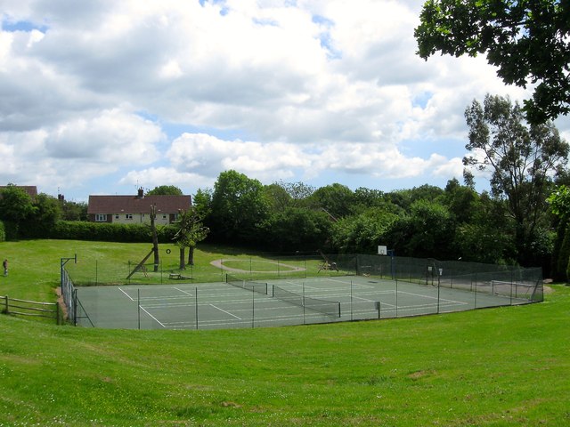
Image: © Simon Carey Taken: 6 Jun 2015
The local name used for this area. The depression in the ground was once an old pit that was located in the northern part of Gowers Wood. By the 1897 OS map the wood to the south had disappeared but the pit remained unit it was landscaped possibly in the 1970s or 80s and opened as a public recreational area. The houses beyond are located in Gowers Close.
Images are licensed for reuse under creativecommons.org/licenses/by-sa/2.0
Image Location
Latitude
51.050912
Longitude
-0.082758